How 2 US, European Satellites Are Studying Hurricanes During El Niño
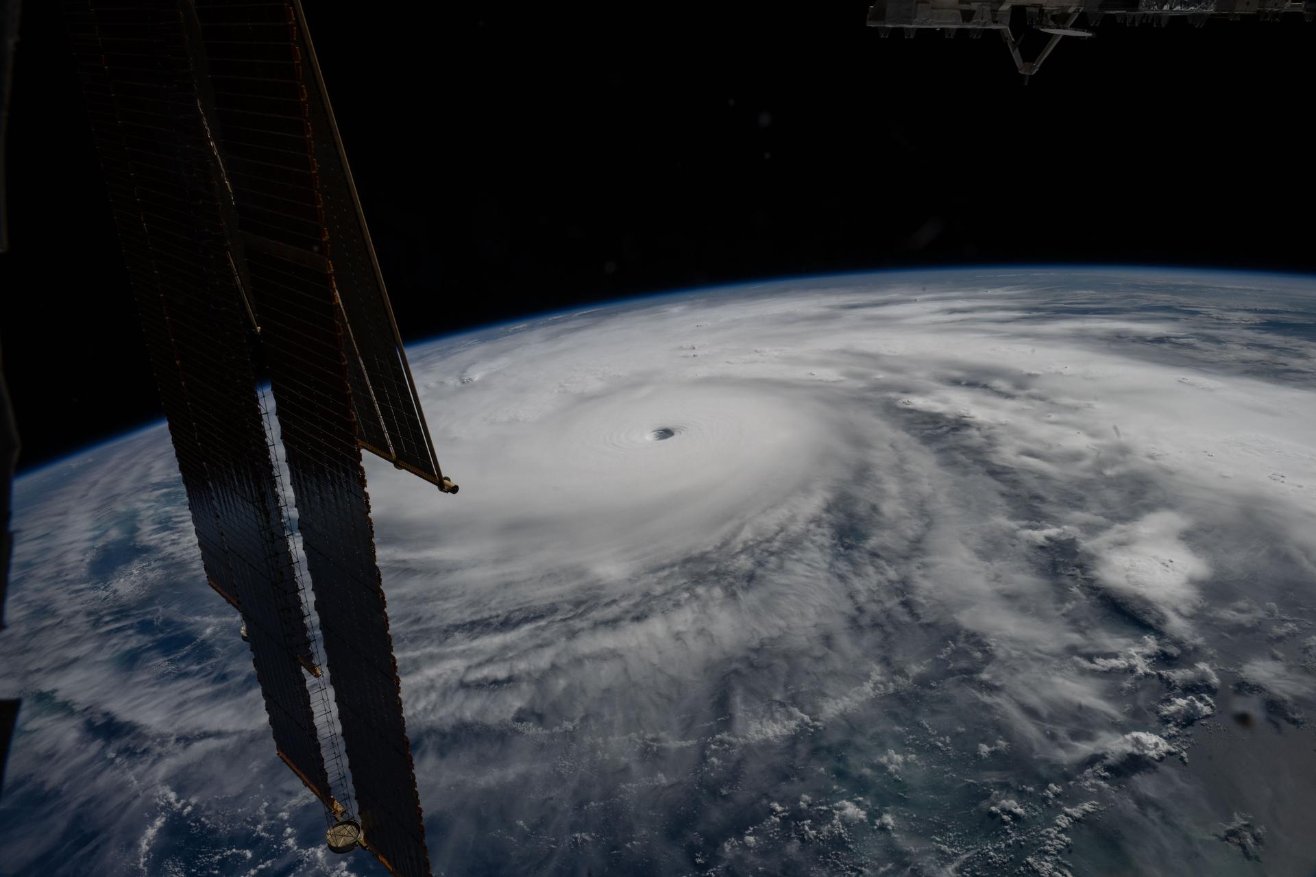
Image: NASA
Machine-written summary, checked against the sources below
NASA and European partners launched the Sentinel-6B satellite in November to improve hurricane forecasts and support infrastructure protection and commercial industries like shipping. It now flies 30 seconds behind its predecessor, Sentinel-6 Michael Freilich, with both satellites providing precise sea level height measurements during an expected historic El Niño.
Last November, NASA and its European partners launched the Sentinel-6B satellite to improve hurricane forecasts, help protect infrastructure, and benefit commercial industries, including shipping. The satellite now is flying 30 seconds behind its predecessor, Sentinel-6 Michael Freilich. Both satellites are providing precise sea level height measurements during what oceanographers expect to be a historic El […]
Summary by NASA, the primary source