Guinea-Bissau Tidal Waters
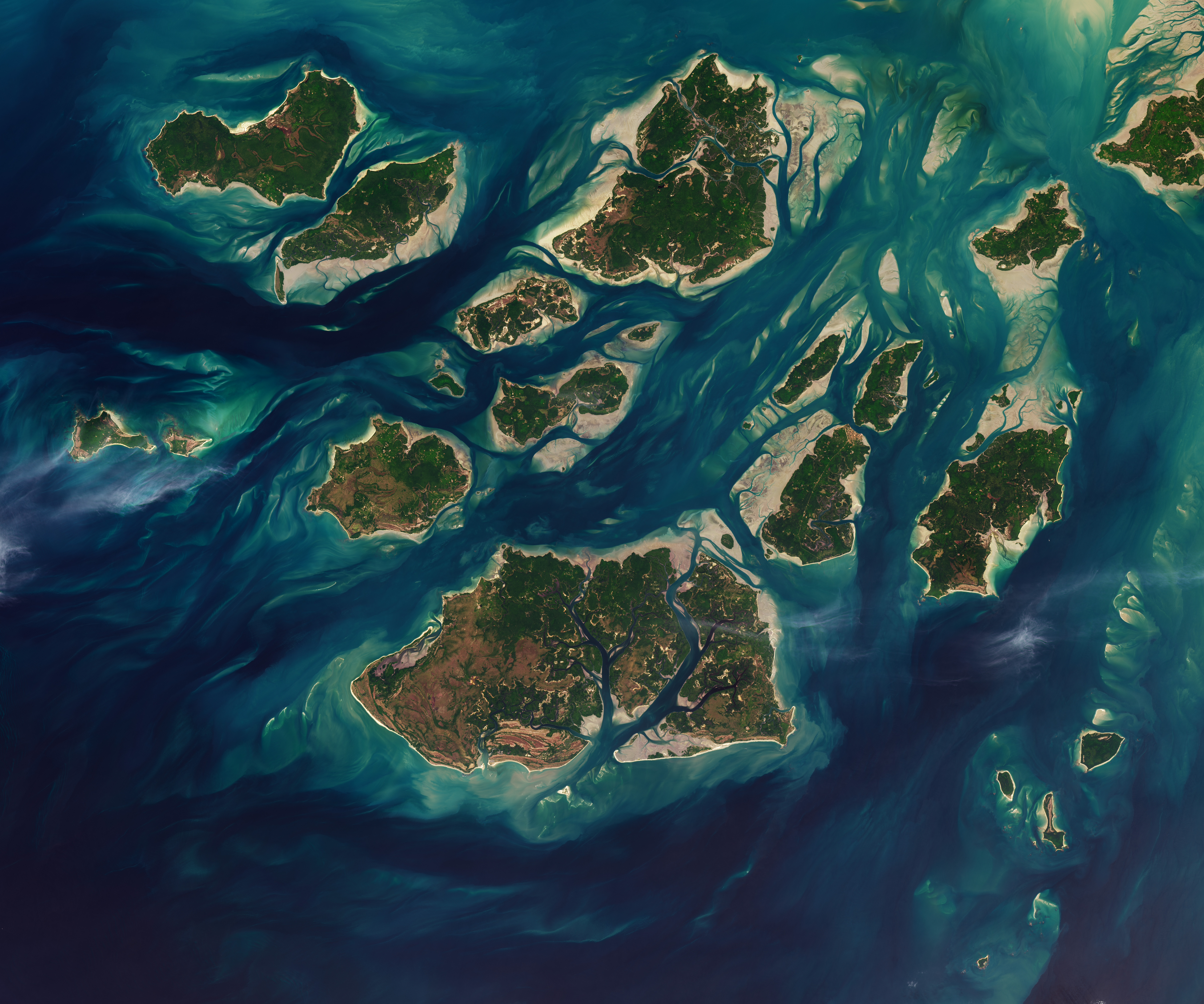
Image: NASA
Twice each day, tides ebb and flow through a maze of sandy channels, mudflats, and mangrove forests that flank the 88 islands and islets of Guinea-Bissau’s Bijagós Archipelago (Arquipélago dos Bijagós in Portuguese). Seen from above in this image from Nov. 28, 2025, the process leads to stark changes to the landscape: around low tide, intertidal mudflats and sandflats […]
Summary by NASA, the primary source